Ford and Google Forge New Paths: TransAmerica Trail Now Charted with Street View
We independently review everything we recommend. When you buy through our links, we may earn a commission which is paid directly to our Australia-based writers, editors, and support staff. Thank you for your support!

Fast Overview
- Ford and Google have utilized Street View technology to chart the TransAmerica Trail.
- This trail extends over 5,900 miles of unpaved routes throughout the United States.
- A Ford Bronco Badlands was employed to document the trail’s rugged features.
- The new lightweight camera system from Google enabled the successful expedition.
- This initiative promotes virtual exploration and route planning for adventurers.
Documenting the Indomitable: 5,900 Miles of Off-Road Exploration
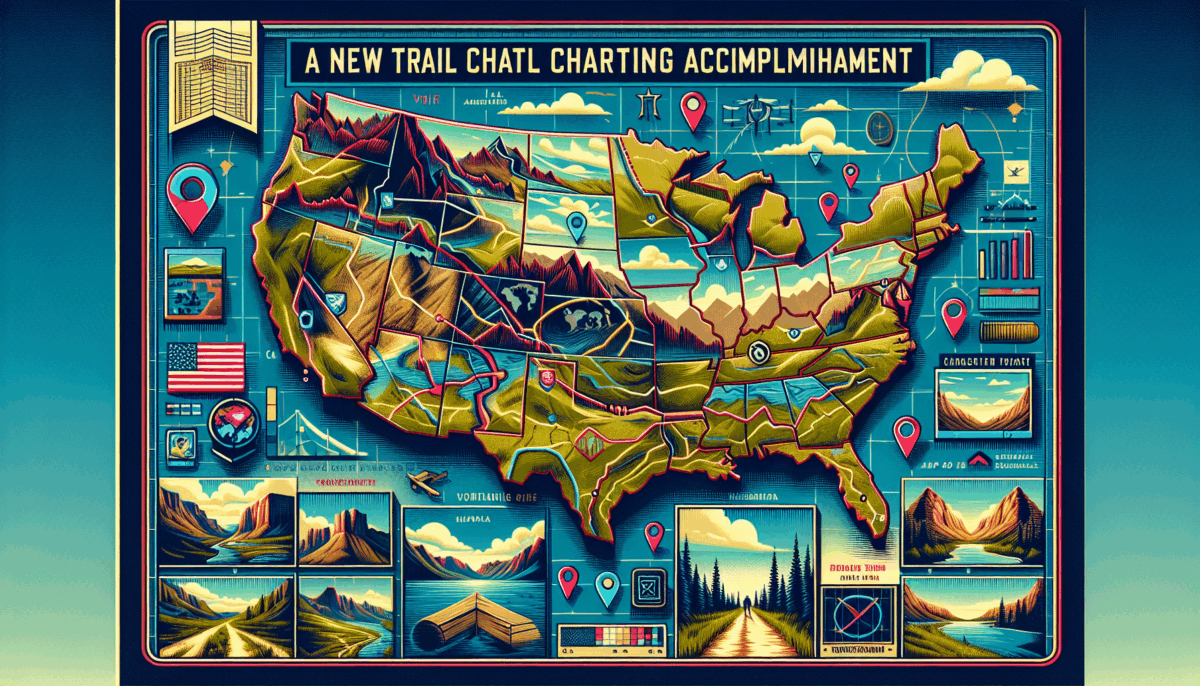
The TransAmerica Trail represents a vast network of unpaved roads spanning over 5,900 miles across the U.S., celebrated by off-road enthusiasts. Historically challenging to map, this trail is now visible on Google Maps due to a partnership between Google and Ford. This effort allows individuals to explore the secluded landscape from the comfort of their homes.
Preferred Vehicle: Ford Bronco
For navigating such demanding terrain, the project utilized a Ford Bronco Badlands, acclaimed for its off-road performance. With Ford’s High-Performance Off-Road Stability Suspension System, the Bronco comfortably managed varying landscapes, from sandy areas to rocky trails, allowing the Google team to concentrate on obtaining high-quality images.
The expedition was backed by a support convoy featuring a Ford Ranger Lariat and an Expedition Tremor, tasked with transporting necessary equipment and supporting the team during a 32-day journey from Oregon to North Carolina.
Technical Details: Google’s New Street View Camera
Innovative Camera System
The camera utilized in this venture was compact and light, weighing less than 7 kilograms. This allowed for easy mounting on vehicles such as the Ford Bronco, adapting swiftly to the trail’s variable conditions.
Virtual Exploration
Adventurers can now explore the entire trail virtually, evaluating the difficulty of different sections and organizing their trips with improved precision and safety.
Enhanced Accessibility and Assurance
By integrating the TransAmerica Trail on Street View, Google has made this famed route more accessible, empowering drivers of all experience levels to plan their off-road adventures with assurance.

Conclusion
This collaboration between Google and Ford has transformed the remote and demanding TransAmerica Trail into an accessible feature on Google Maps, enabling users to discover and plan their journeys with unparalleled access and information.
